A while back I mentioned the sport of geocaching, which involves using one’s GPS receiver to try and locate cleverly hidden objects hidden ostensibly in plain sight.
From our friends in the UK comes a new GPS related sport known as GPS Drawing. Simply put, GPS drawing is the act of creating large-scale drawings using Global Positioning System (GPS) technology.
In addition to general information provided at the preceding web site, there is also a gallery of images created using this technique. A special gallery provides some interesting animated gifs, which overlay a GPS drawing against a map or actual terrain.
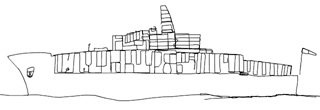
Here are a couple of my favorites (click on an image to get more info about that particular drawing):