An old logging road runs along side the north side of the Big River, south of Mendocino. The road has been converted for use as a hiking and biking trail, and I ventured almost 5 miles in today. It was a fun ride, not very hilly, and while more suited to a mountain or trail bike, my carbon Felt road bike did just fine.
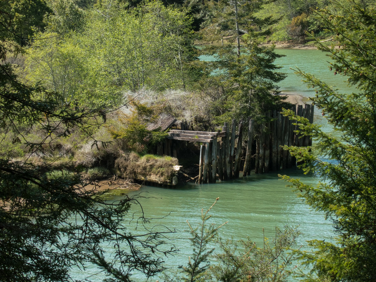
If you roll your mouse over photos 4 and 5 below you will see a photo of the informational sign that was posted near the scene.

::

::

::
[fusion_builder_container hundred_percent=”yes” overflow=”visible”][fusion_builder_row][fusion_builder_column type=”1_1″ background_position=”left top” background_color=”” border_size=”” border_color=”” border_style=”solid” spacing=”yes” background_image=”” background_repeat=”no-repeat” padding=”” margin_top=”0px” margin_bottom=”0px” class=”” id=”” animation_type=”” animation_speed=”0.3″ animation_direction=”left” hide_on_mobile=”no” center_content=”no” min_height=”none”]
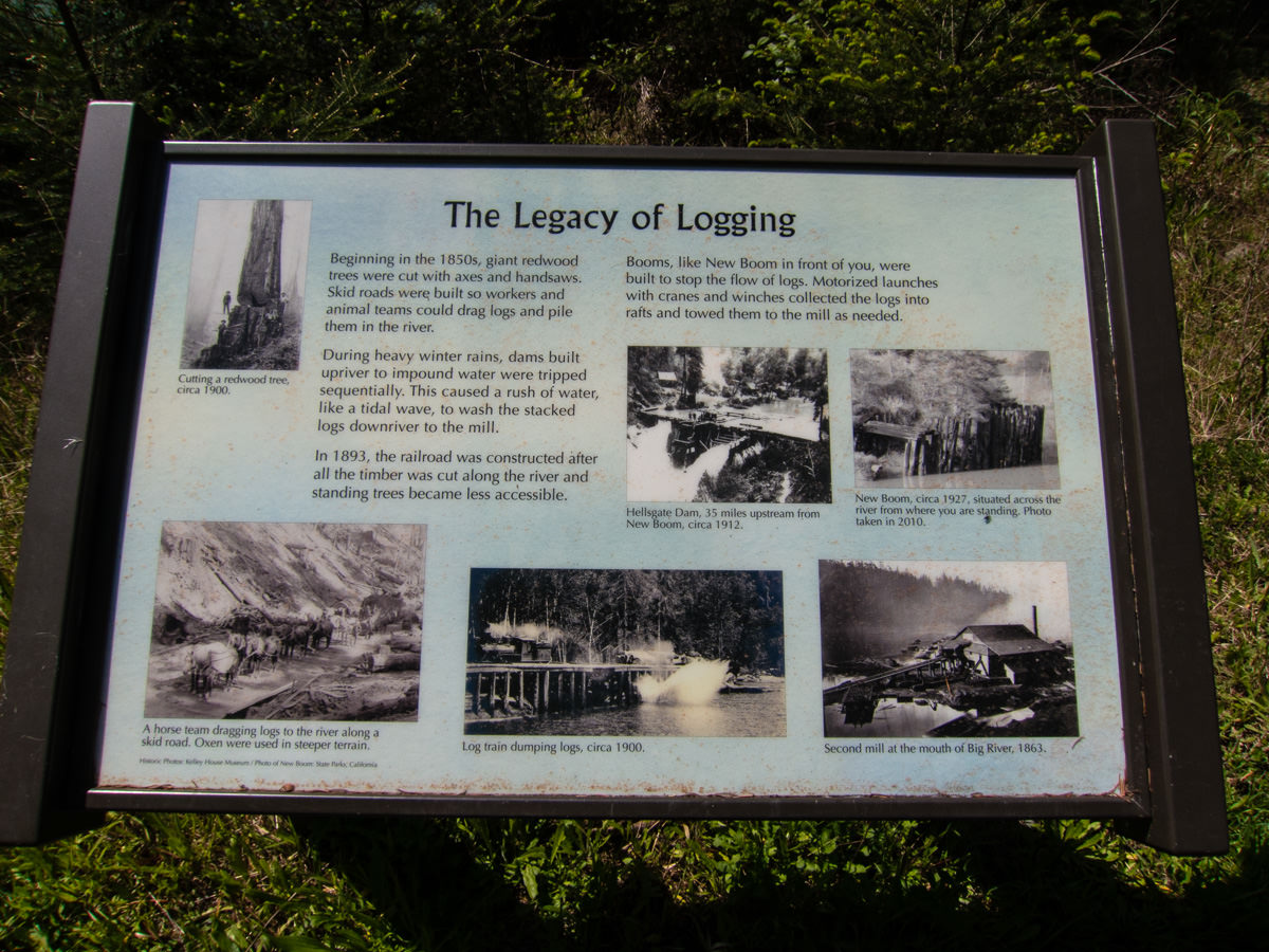
The 2nd image is of a sign with historical info about logging in this area.
::
[/fusion_builder_column][fusion_builder_column type=”1_1″ background_position=”left top” background_color=”” border_size=”” border_color=”” border_style=”solid” spacing=”yes” background_image=”” background_repeat=”no-repeat” padding=”” margin_top=”0px” margin_bottom=”0px” class=”” id=”” animation_type=”” animation_speed=”0.3″ animation_direction=”left” hide_on_mobile=”no” center_content=”no” min_height=”none”]
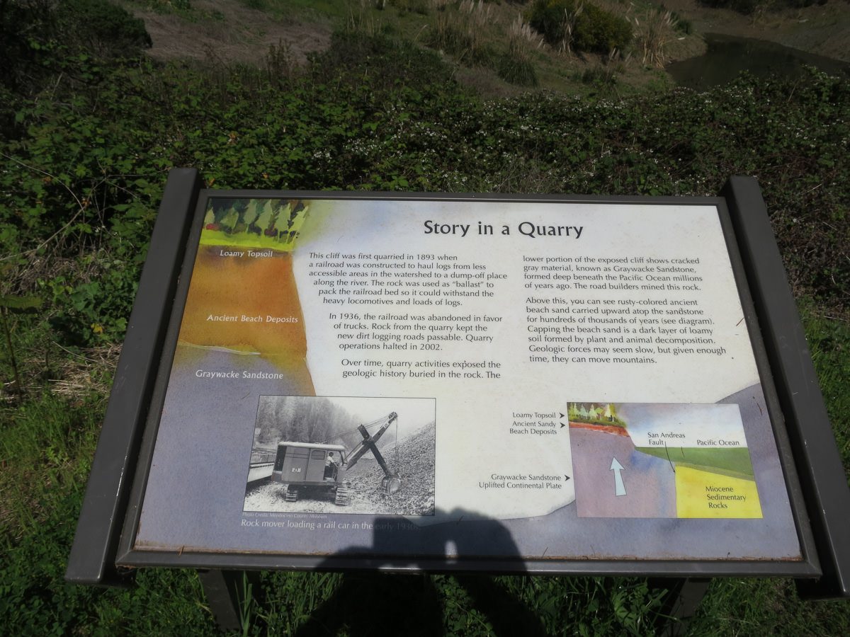
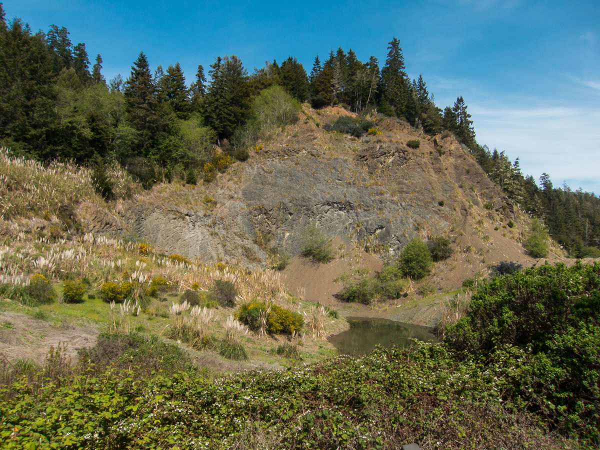
The 2nd image is of an informational sign with details about the featured quarry.
::

GPS track of my ride along the Big River Trail.
::

A completely unrelated shot, looking towards Mendocino from the south.
::
[/fusion_builder_column][/fusion_builder_row][/fusion_builder_container]