Eastern Sierra Autumn
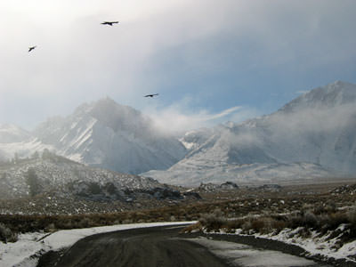
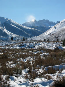
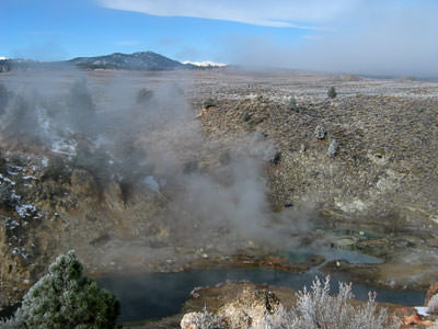
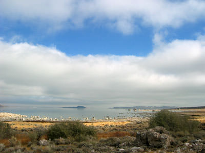
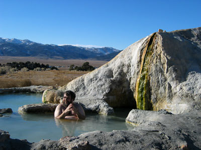
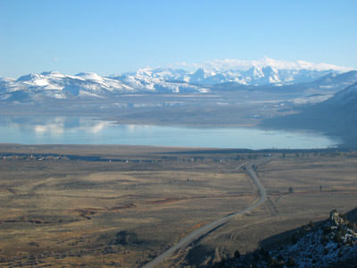
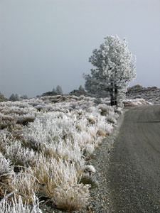
We’re spending a couple of days on the eastern side of the Sierras before heading over to Las Vegas for the Apachecon conference. We spent a nice day on the road between Bishop and Bridgeport today, checking out the hot springs near Mammoth and Bridgeport and taking a quick spin up by Twin Lakes where we got some nice shots of the snow blowing off of the tops of the mountains.
Roll your mouse over each image to view the caption.
:: ::
More Fall Fun on 395
On Saturday we continued our journey, leaving Bishop after an always pleasing stop at Schat’s Bakery. The variety of baked goods there is amazing and the quality is top-notch.
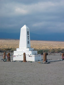
North of Lone Pine we took time to drive through the camp at Manzanar, where Americans of Japanese descent were interned during WWII. It was a contemplative drive as we both know people who spent part of their childhood at the camp. We also reflected on the climate of fear at the time and noted the parallels to today.
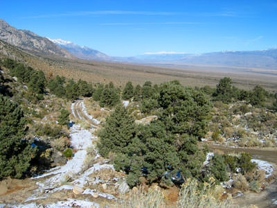
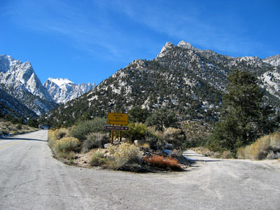
We continued south on 395, and as we got close to Lone Pine, we took off on Moffat Ranch Road, an unpaved back road, then turned on Hogback road, and ended up near the Mt. Whitney Portal; nice ride with great views. Also, while these kind of roads are fun with our Highlander, between this and a few other off-road experiences with this car we’ve come to realize we want a 4-Runner again.
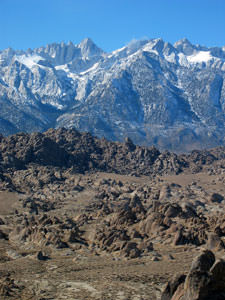
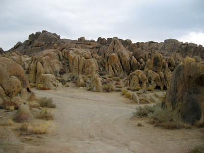
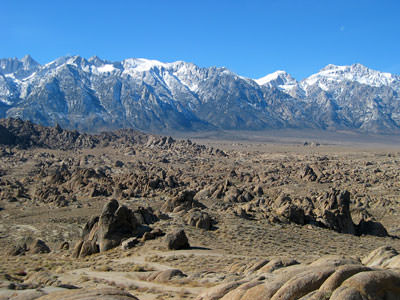
After descending Mt Whitney Portal Road we spent a few hours exploring the Alabama Hills, driving and hiking among the very familiar rocks (seen in many movies and TV westerns) before heading into Lone Pine. Dinner at the Seasons was very good; in my experience better than can usually be expected in a town the size of Lone Pine.
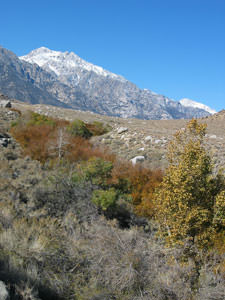
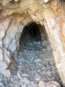
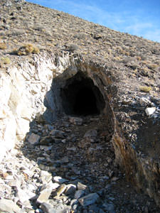
We spent the next morning on a return trip the now brightly sunlit Alabama Hills before heading down to Las Vegas. We stopped to explore an old dolomite mine along the way; didn’t do much more than peek into the entrance, not being equipped for true mine exploration.
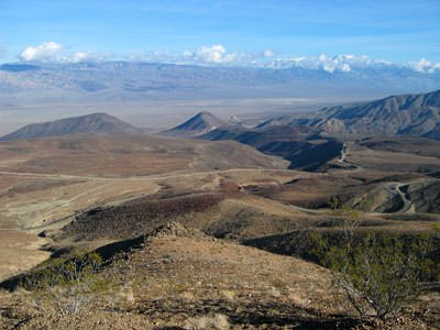
The views from Padre Point, on CA 190, are vast and sweeping, almost beyond description.
We’ll end this entry with a photo of some sand dunes in Death Valley:
:: ::
Vegas Strip Food and Photos
During our stay we’ve had a variety of interesting meals; returning to sentimental favorites for the buffet at Ballys and the 10.99$ steak and lobster at the Stardust, plus a nice dinner at Postrio. The first two places still met expectations (and I did get enough of the peeled shrimp at Ballys); Postrio delivered a quality experience in terms of both food and service, living up to its reputation. We had a light dinner and skipped dessert. The white bean soup and bow-tie pasta were particularly noteworthy; the calamari perhaps a tad tough and the lasagne hearty and flavorful.
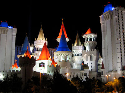
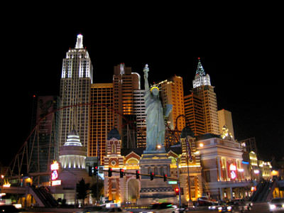
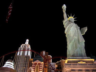
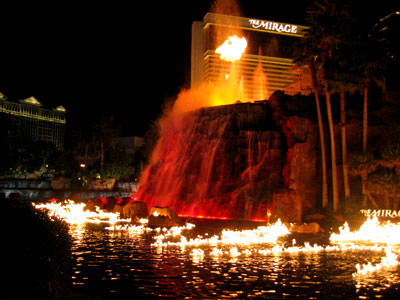
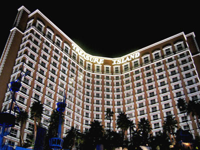
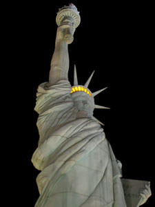
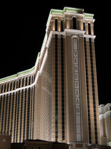
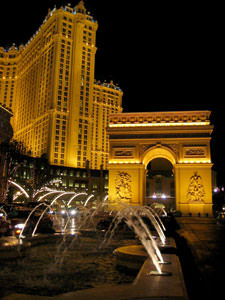
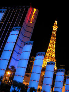
Here are a few photos taken the past couple of evenings while visiting Las Vegas’ famed strip: Las Vegas Boulevard.
Place mouse over images for caption.
:: ::
Desert Wanderings
A month ago, before my illness, we were out exploring the desert and
back country between Lone Pine, CA and Las Vegas, NV. Starting up where we left
off, here’s the latest entry chronicling our most recent adventure. Additional posts
will cover our visit to the ghost town of Rhyolite and our drive through the very
rugged Titus Canyon. The entire series is viewable on a single page in reverse date order for easier viewing
.
Before we left Las Vegas, we spent one afternoon on the unpaved desert roads
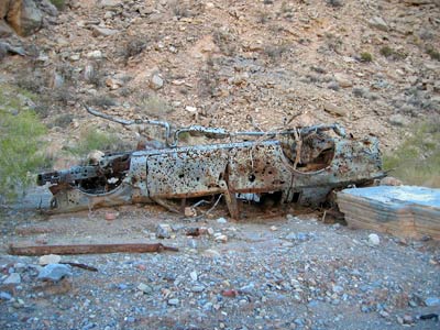
northeast of town, looking for interesting rocks and minerals and enjoying the sheer desolation and stark beauty of the trail we were on. Spied soon after we were off the main roads, this image served to emphasize the remoteness of the area we were
in, just 20 some odd miles from Vegas.
Death Valley, 23 November 2003
When we left Las Vegas we decided to drive up the length of Death Valley, a route we had not taken before. We have crossed Death Valley from east to west but had never driven it lengthwise.
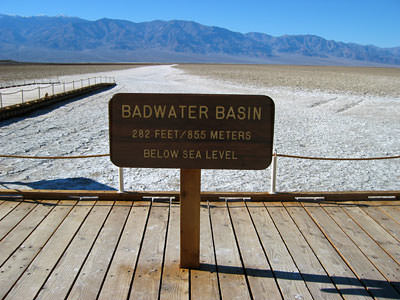
We first stopped for photos at the lowest spot in the continental United States, a spot known as Badwater. It is almost 300 feet below sea level, and Sheryl commented on how interesting it was that the highest spot in the the lower 48 states is just a few miles away at Mt. Whitney (over 14000 feet high).
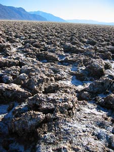
A little further north is a large area of crystalized salt known as the Devils Golf Course. A very harsh environment, as the photo, below left, shows.
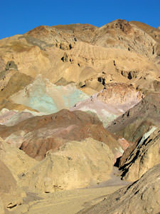
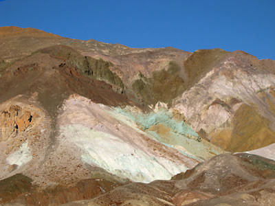
Close to the top of the valley is a region of surprising beauty, known as the
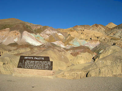
Artists Palette. The hills along this area are brightly colored. These colors are caused by the oxidation of different metals (red, pink and yellow is from iron salts, green is from decomposing mica, and manganese produces the purple). Additional information available at wikipedia
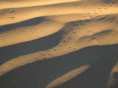
We spent the night at Stovepipe Wells, reaching the tiny desert oasis shortly before sunset, which left enough time to relax for a while at the large sand dunes right outside of town. We captured these interesting tracks that we first thought belonged to a bird, but later read may have been left by large beetles.
I finally tried something I had been interested in since I got my GPS unit a
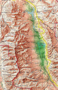
couple of years ago. It seems that one can take a screen shot of the display of one’s recent travels, as recorded by the GPS and overlay that track over a map or photo of the area visited. I had thought there would be serious issues with scaling, but it turns out that it’s not too hard to get the map and the recorded track in sync. Check out the results for our trip up Death Valley ! click on the image for a larger version
Visions of the Past: Rhyolite, Nevada
Continuing coverage of Mike and Sheryl’s November Desert trip.
24 November 2003
After spending a restful night in Stovepipe Wells, we took off for another day of exploring the northern Death Valley area.
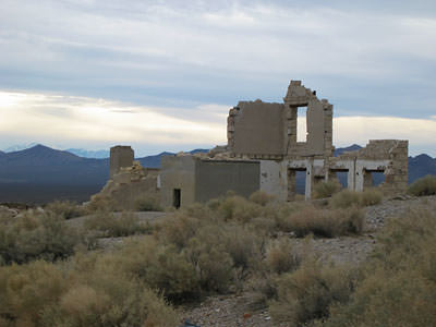
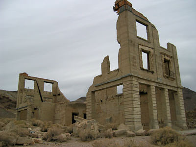
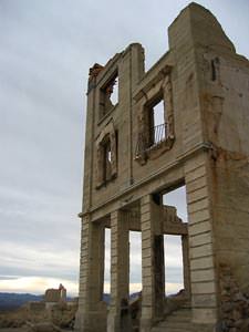
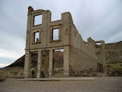
Our first stop was at the ghost town of Rhyolite, located in extreme western Nevada. Founded in the early 1900s, the town, like many other mining focused boom towns in the area, grew rapidly … and faded away just as rapidly.
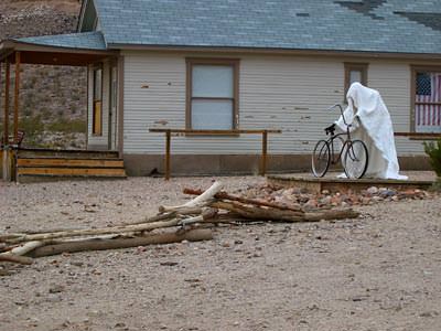
Occasionally, one does see actual ghosts in a ghost town.
View looking out towards the desert.
Three images of the Rhyolite bank.
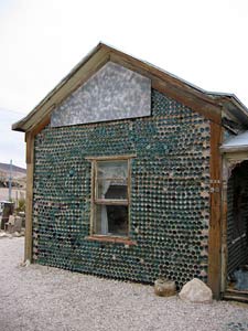
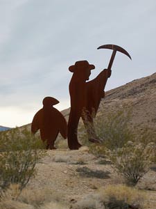
The semi-famous bottle house and a view of tux with a miner.
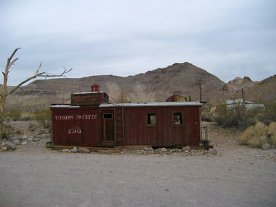
End of the line.
More images of Rhyolite images located at the ghosttowngallery.com site; very nice!
:: ::
Titus Canyon
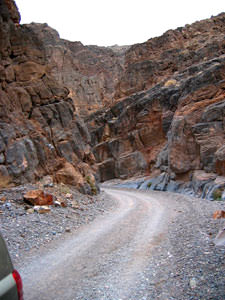
After visiting Rhyolite we headed over to Titus Canyon Road, a steep, rugged, beautiful and fun to drive road. Unless it’s rained recently, the road should be entirely safe, even for passenger vehicles (of which we saw quite a few; the road was actually somewhat busy given it’s location and condition.)
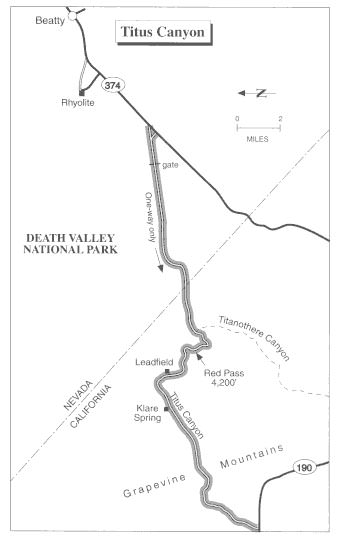
This map places Titus Canyon and Rhyolite in perspective. Note the odd orientation, north on this map is to the left, not the top.
The so-called west entrance, (Titus Canyon Road is one-way and exits on the west side), demonstrates how quickly the canyon closes off apparent access.
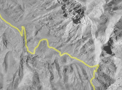
Similar to the overlay of a GPS recorded track on a map, here we have an example of doing something very much related; overlaying the recorded GPS track over a photo of a small section of Titus Canyon. Following the link to the original photo one may further zoom in or out to explore the Titus Canyon area from an aerial perspective.
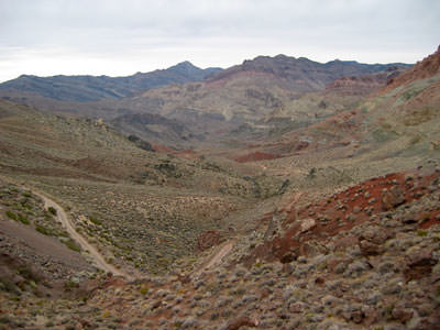
A photo somewhere near the middle of Titus Canyon.
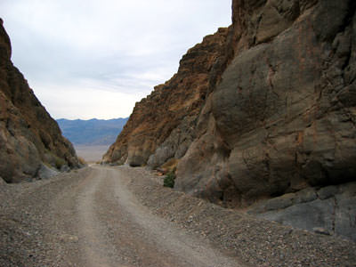
The view leaving Titus Canyon, heading west.
:: ::
South of Lone Pine
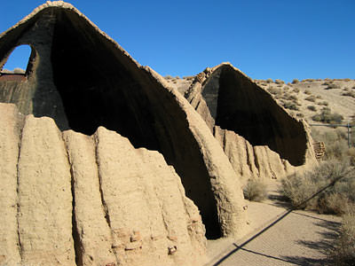
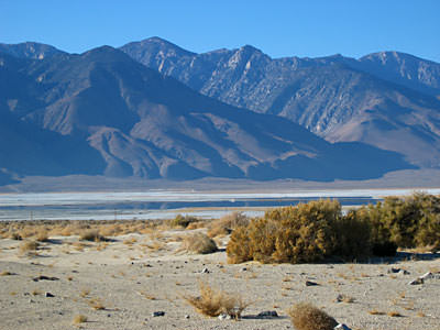
The last day of our trip found us taking it pretty easy. We drove south a ways to see the Cottonwood charcoal kilns (charcoal was used in the smelters, which were used to process ore), spent some time mineral and fossil collecting near the shore of Owens Lake and finished up the day with one last drive through the Alabama Hills, this time taking a route we hadn’t followed before.
Two remaining charcoal kilns.
View of southern Owens Lake.
The next day we drove home; I started feeling weak and out of sorts on the way home, and so began a month of poor health. I’m pleased to report my pneumonia is now mostly a bad, fading memory. Sure feels good to feel good again!
:: ::
