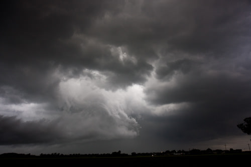
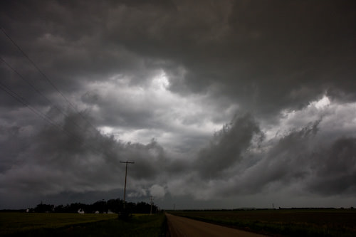
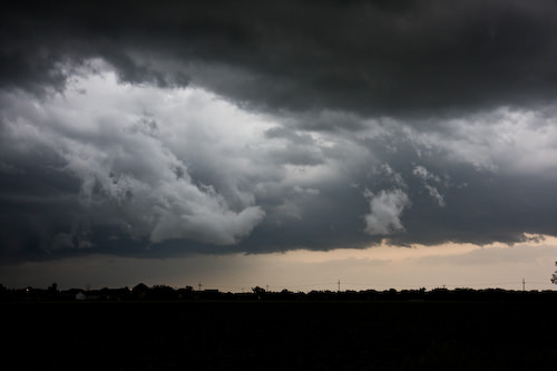
When the local paper warns of potential severe thunderstorms on the front page (albeit below the fold), it’s worth noticing. It seems conditions today were expected to be very similar to June 8th, 1974, when more than 3 dozen tornadoes hit the southern plains. As the paper noted “the ‘significant’ designation is the fourth most severe alert on a 5 point scale.”
It’s been fairly windy the past couple of days, and last night was much windier than normal. Still, today dawned with mostly sunny skies, and it wasn’t until mid-afternoon that I started noticing the weather.
Based on the weather radar It seemed a line of severe thunderstorms was going to go by the west edge of Kanopolis Lake, about 20 miles west of Lindsborg. Quickly, we planned to drive to the eastern side of the lake and perhaps get a few good storm photos (see below for more on this topic).
Well, once we got there, the skies were becoming lighter in the west as the clouds thinned. Just then our daughter called and said heavy weather was coming at us from the south. We proceeded past the Kanopolis turn-off, up the hill and followed highway 4 to the south for another mile or so before turning around.
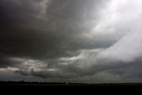
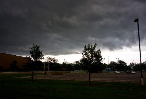
Both our eyes and the radio confirmed that while we had missed the Kanopolis storm, we were soon to be fully immersed in a fairly intense Kansas thunderstorm. It rained, the wind blew, but the gusts didn’t push me out of my lane like in August 2005. We kept driving, a bit scared at times, it’s true, and finally approached Lindsborg. Which was basking in sunlight. We were at the edge of the storm at that point, and as we entered town there were a couple of opportunities to grab a few quick photos of the incoming storm before the storm caught us and passed over town.
While I do get a thrill chasing storms and taking photos, please understand I would rather never have the opportunity. The potential for damage to property, and worse, is immense, and I could never in good conscience wish for such potentially destructive forces to be visited upon anyone or anyplace. Having said that, these storms are a fact of life here in the midwest, completely out of my control, and I stand in awe of their intensity.
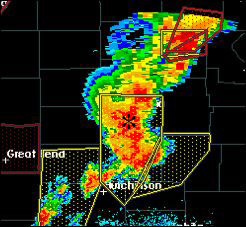
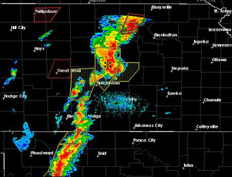
Enough talk, following are a few photos of the storm, starting with screen shots of the radar image showing a line of storms stretching from Oklahoma across central Kansas. Lindsborg is shown with a *; the radar images were captured about 20-30 minutes after the storm photos were taken.
One last thing: kudos to the local law enforcement agencies and local, trained, storm-spotters; I rest easier knowing their watchful eyes will help prevent a storm from hitting Lindsborg by surprise. Radar doesn’t tell the entire story (though at night that’s all you’ve got besides lightning).
There’s also a full baker’s dozen of Kansas storm photos at Flickr.
